Main Content
Offcanvas Menu

Union Realty
Where Nature Meets Home

Welcome To
Union Realty
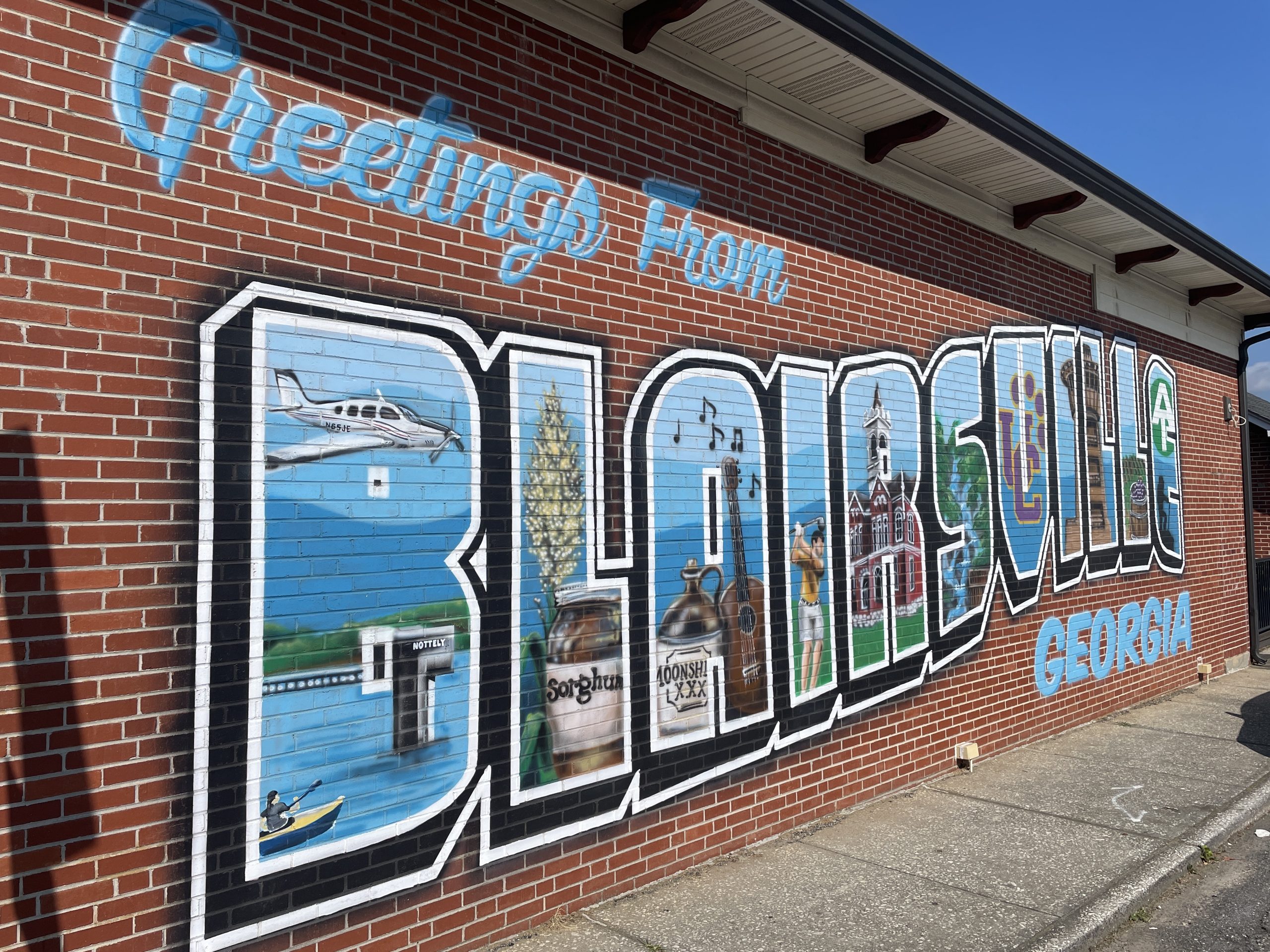
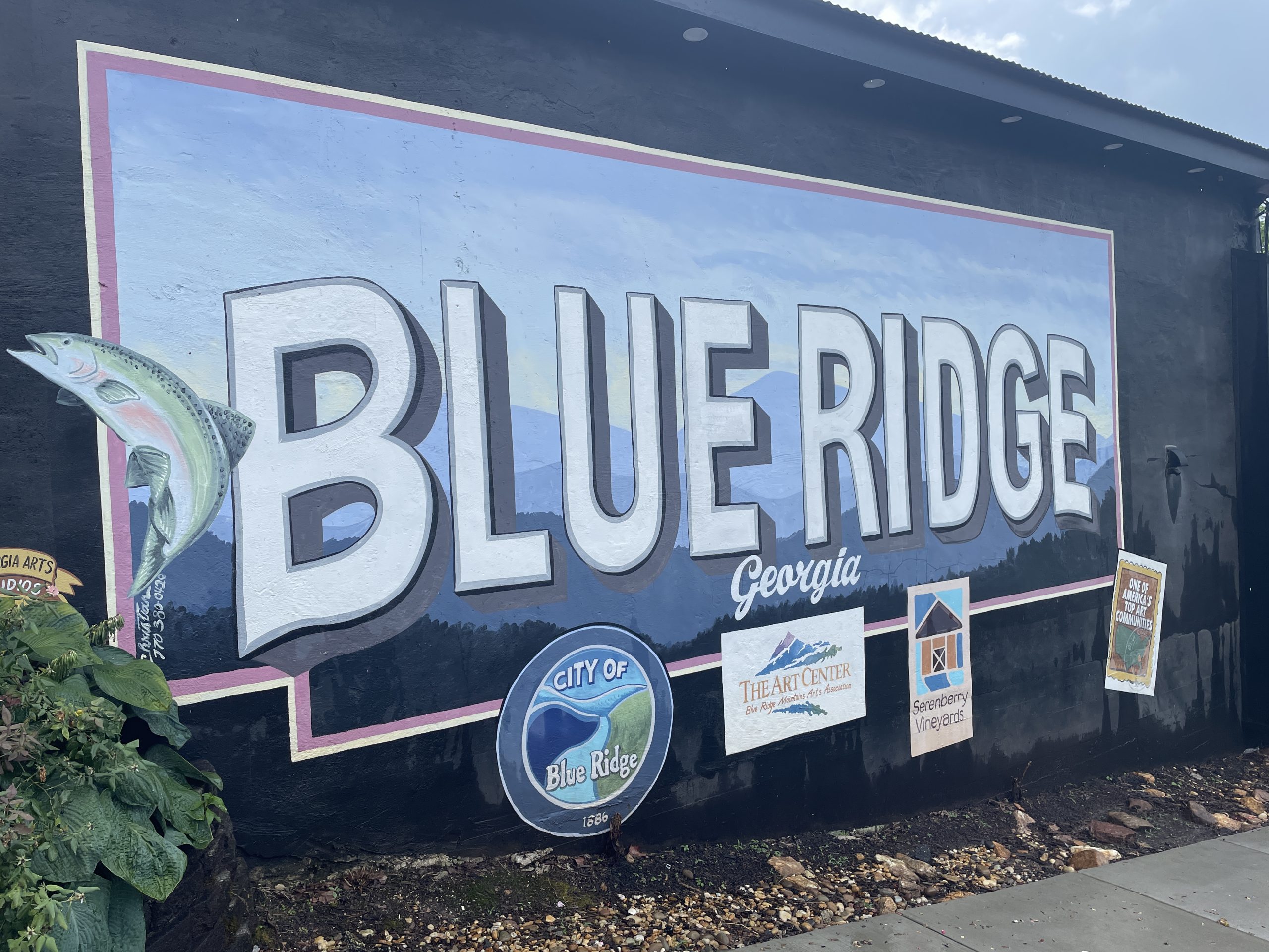
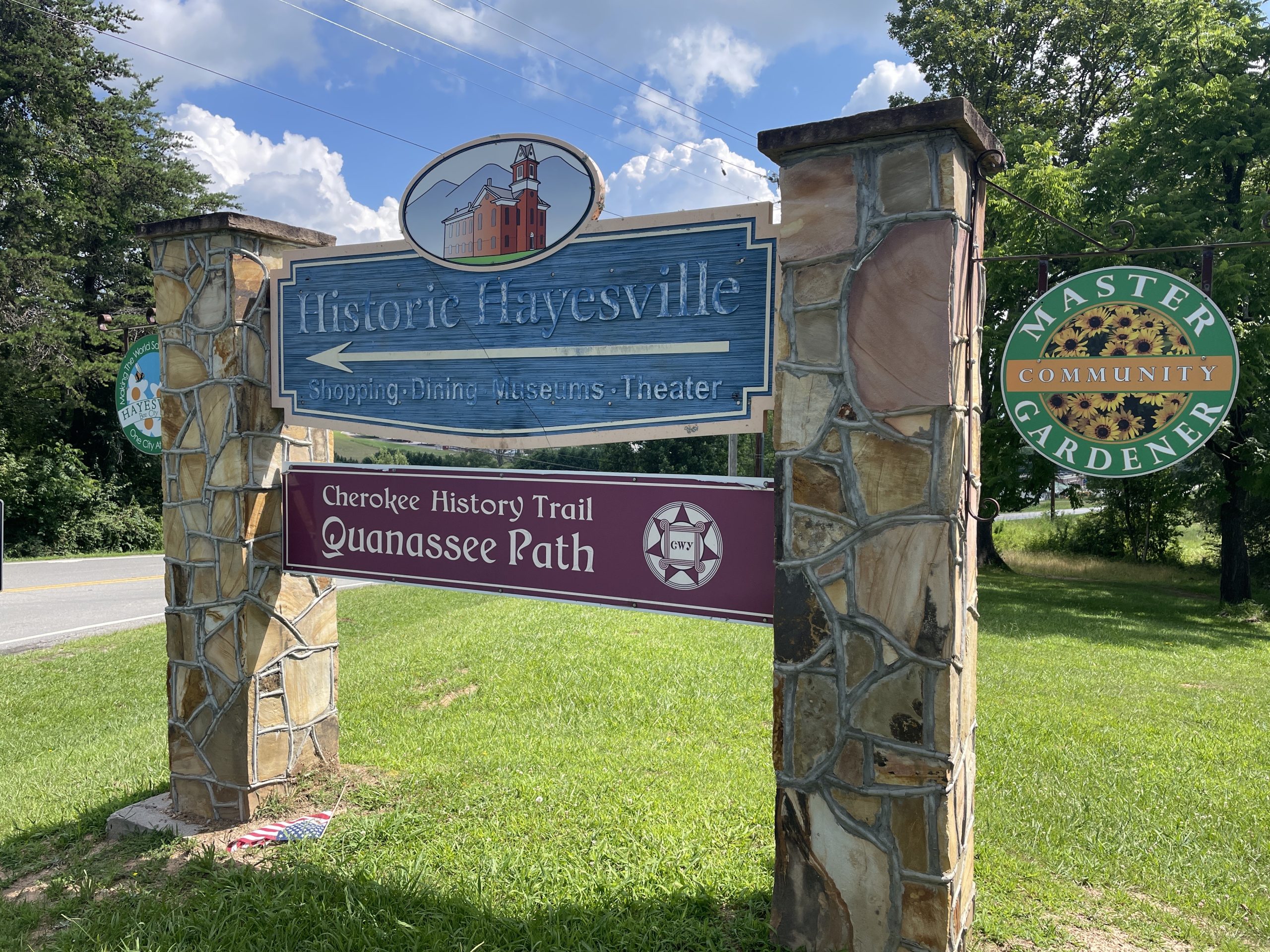
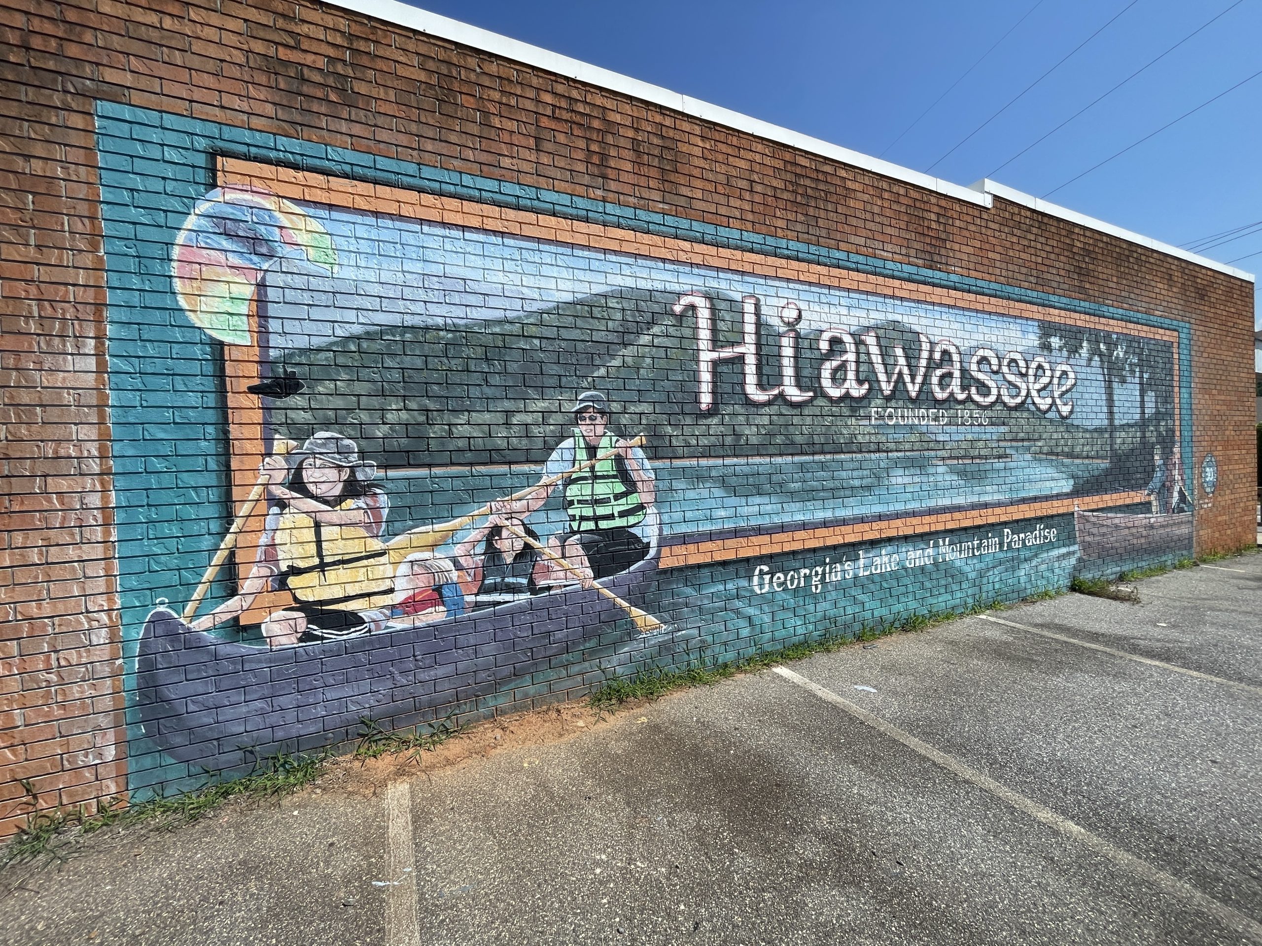
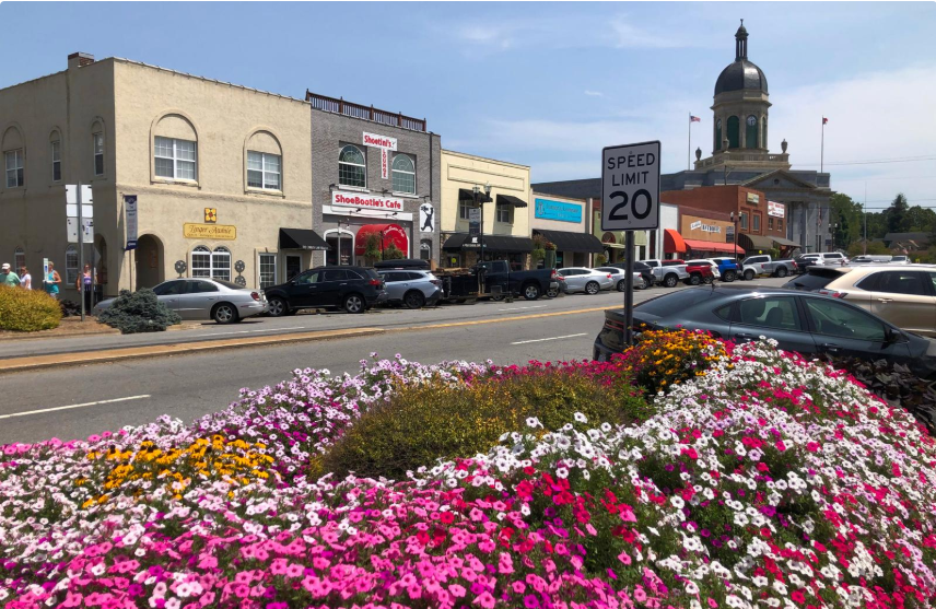
Union Realty – North Georgia and Western North Carolina Mountains
Founded in 1981, Union Realty is proud to be the oldest and most established real estate firm in the region. Our longstanding history reflects our deep roots and unwavering commitment to providing trusted, reliable service. We are dedicated to offering exceptional guidance and local market knowledge to help clients make informed decisions whether they are buying, selling, or investing in property.
With years of combined experience, our dedicated team of real estate professionals specializes in residential homes, mountain retreats, land, and commercial properties. We take pride in understanding the unique dynamics of the North Georgia and Western North Carolina mountain regions, ensuring our clients receive tailored advice and solutions suited to their individual goals.
Our Achievements & Commitment:Recognized for outstanding client service and integrity. The oldest and most established real estate firm in the region since 1981.
Successfully closed numerous transactions, helping clients realize their real estate dreams in the scenic North Georgia and Western North Carolina mountains.
Our Mission:At Union Realty, we are committed to building lasting relationships based on trust, professionalism, and a deep understanding of the local market. Whether you're a first-time homebuyer, a seasoned investor, or looking to sell your property, our team is here to guide you through every step with transparency and dedication.
Why Choose Us?Deep local market expertise
Personalized, client-focused service
Strong negotiation skills
Learn More


Featured Properties


Explore Communities


Latest News
Stay ahead with the latest news and insights from the real estate scene. Union Realty shares weekly updates covering market movements, fresh opportunities, and stories that matter to buyers, sellers, and investors. From breaking trends to in-depth looks at local developments, consider this your go-to source for timely real estate news.
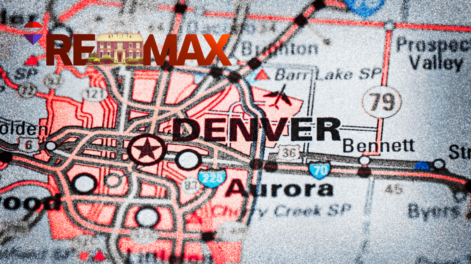
‘Sucks for Denver’: Real-REMAX deal moves a Denver icon to Miami
Real Brokerage is buying REMAX in an $880 million deal that will move the franchisor's headquarters to Miami after 50 years in Colorado.

EVERYTHING you need to know about the Real-REMAX merger
As you wrap your mind around the consolidation deal, we're making sure you have all of the information you need to navigate what comes next.

Renters in World Cup cities could turn empty apartments into $2,700 a week
Reeku is expanding to all U.S. FIFA World Cup 2026 host cities, helping renters cash in on the surge in demand for apartments.